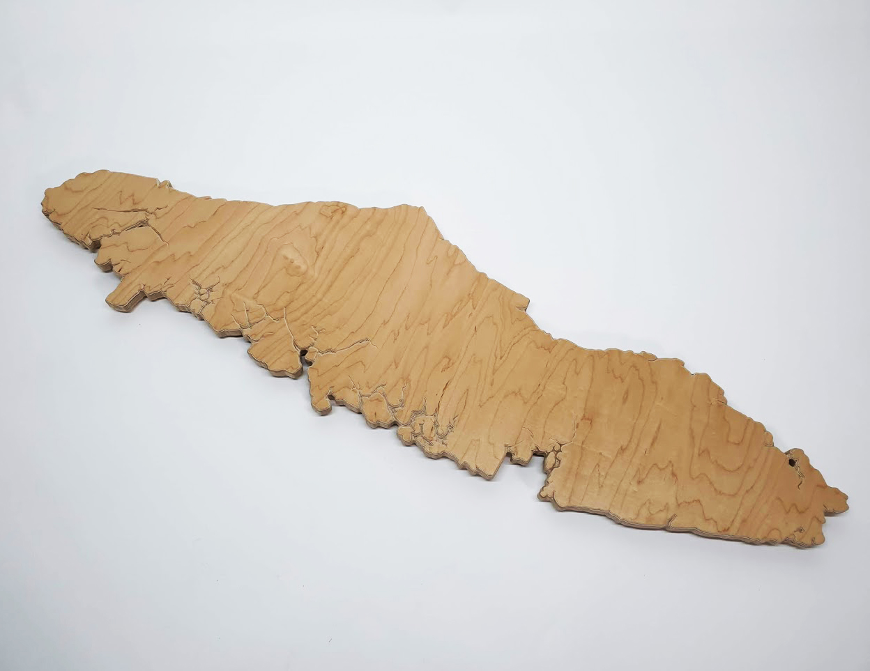
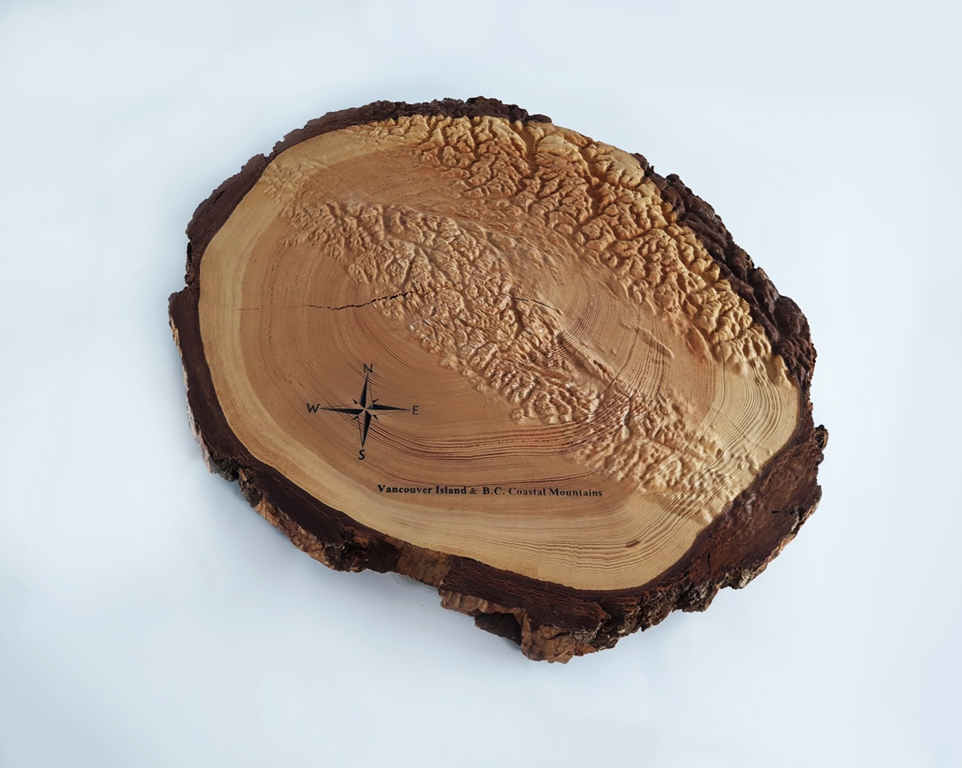
Victoria BC Coastline – Carved Wood Topographical Map
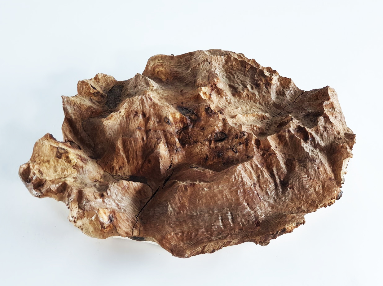
This slice of wood was taken from a large tree taken down by an arborist in the Fernwood neighbourhood of Victoria BC. The portion of wood was situated at the crotch of two large branches, which endowed it with its characteristic crack in the centre. A closer look reveals two sets of rings, one on each side of the crack.
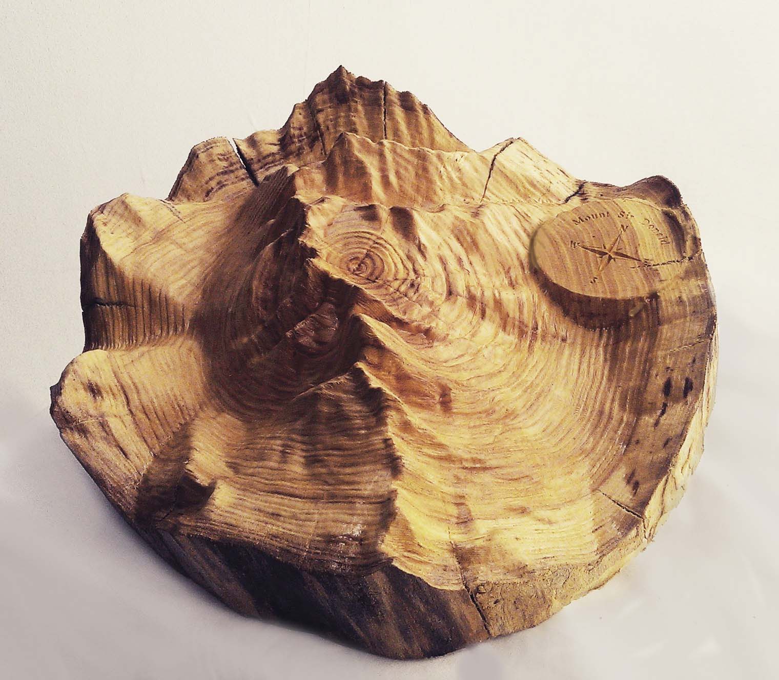
The wood was slowly dried over a few years before being carved to represent the curvature of the land where the tree made its home.
This one-of-a-kind carving traces the geography of Greater Victoria, British Columbia. A geometric pattern hugs the coastline, which was highlighted using wood burning techniques.
The map features iconic coastal landmarks such as the Esquimalt Lagoon, Gorge Waterway, Clover Point, Ten Mile Point, Cadboro Bay and Discovery and Chatham Islands. The featured area is located within WSÁNEĆ and Lekwungen territories.
Dimensions: 66″ x 58″ x 8″![]()
1 in stock