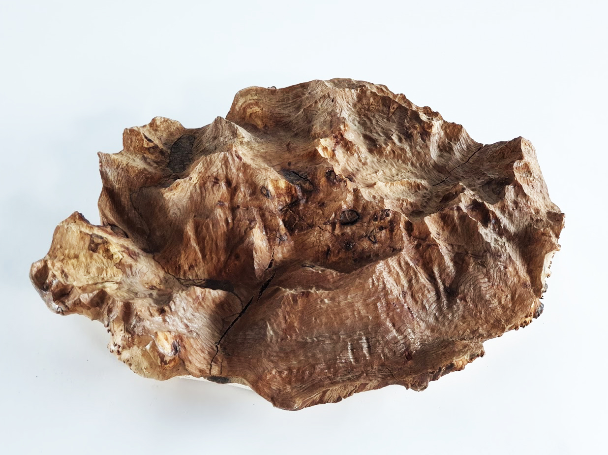
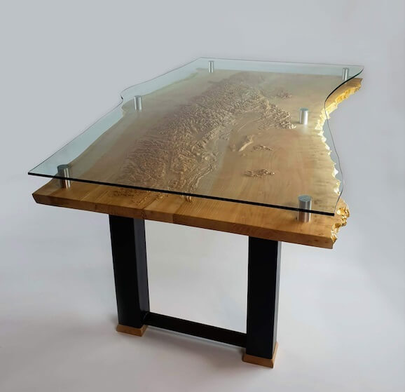
Mount Sir Donald – Carved Wood Topographical Map
Towering Mount Sir Donald is the crown peak of Rogers Pass, within Ktunaxa territory in southeastern British Columbia.
Rogers Pass holds an iconic place in Canadian history. Its peaks were a focal point of the early mountaineering days. The beauty and danger of the avalanche-prone high mountain pass is not lost on those who travel through it.
At 3,284 metres with a Matterhorn-like prominence and shape, Mount Sir Donald is a classic alpine climbing route in the Selkirk Mountain Range. The first documented ascent was made in 1890 by Emil Huber and Carl Sulzer of Switzerland with porter Harry Cooper. Since then, many adventurists have visited the mountain every season to make a go at its peak.
Mountain climbers will enjoy studying the various steep angles in this piece. Those who have driven through might appreciate the chance to see and trace the other sides of the mountain that are normally hidden from view on the Trans Canada Highway.
This map was carved into a slice of honey locust taken down by an Okanagan arborist.![]()
1 in stock
Related products
Vancouver Island Live Edge Table
$6,880.00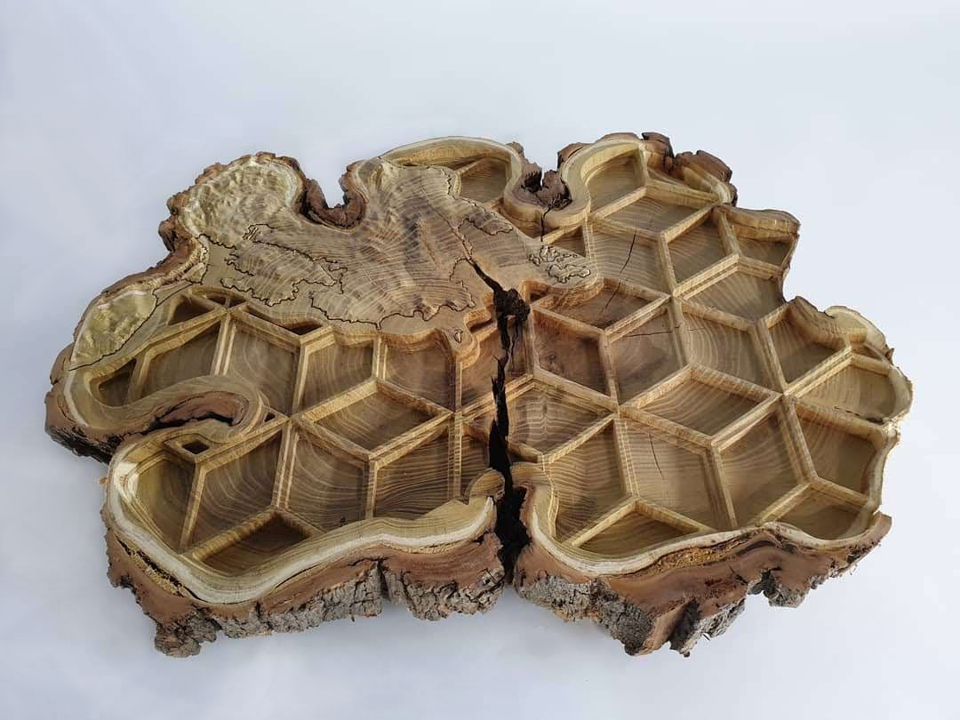
Victoria BC Coastline
$620.00