Client: Keith Holmes
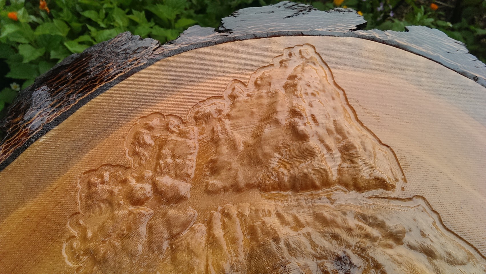
Calvert Island, British Columbia
"None of the maps I've made over the years compares to this wood cut Calvert Island model. Every rocky hill, lake, and channel is so much more comprehensible. Preserving the beautiful Douglas fir bark around the edge was a bit of extra work but it was totally worth it. My only regret was not making a second one for myself." - Keith Holmes
- Keith Holmes
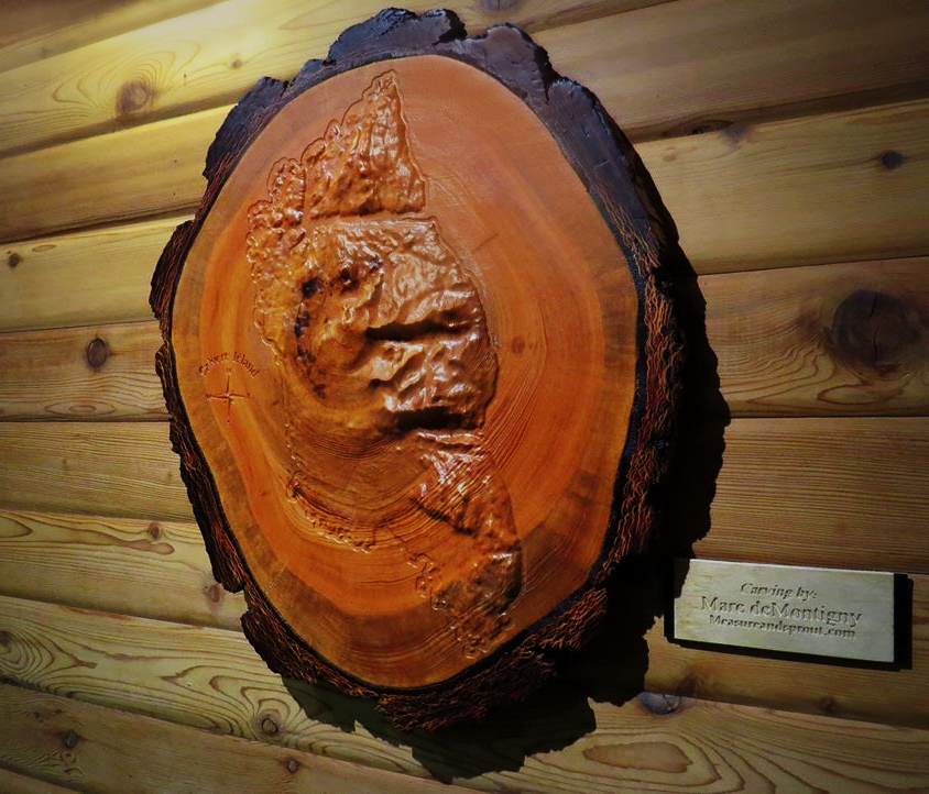
This 3D topographical map of Calvert Island was commissioned by Keith Holmes, a geographer and mapper with the Hakai Institute. The institute has a field station located on Calvert Island, which is situated on the remote central coast of British Columbia within Wuikinuxv and Heiltsuk territories.
Keith commissioned the carving of Calvert Island on a piece of Douglas fir as a gift for the institute. In Keith’s words, “To have it featured in the main building at the Calvert Island field station is fitting since the Hakai Institute studies this landscape so thoroughly.”
The Hakai Institute conducts long term research at remote locations on the coastal margins. Much of its scientific research is centred around ocean monitoring, ecological research and community based initiatives with First Nations.
Marine life is rich around Calvert Island. Minke, gray, and humpback whales as well as orcas, porpoises and dolphins are found in its surrounding waters.
13,000-year-old footprints found on the island in 2014 are the oldest known footprints in North America.